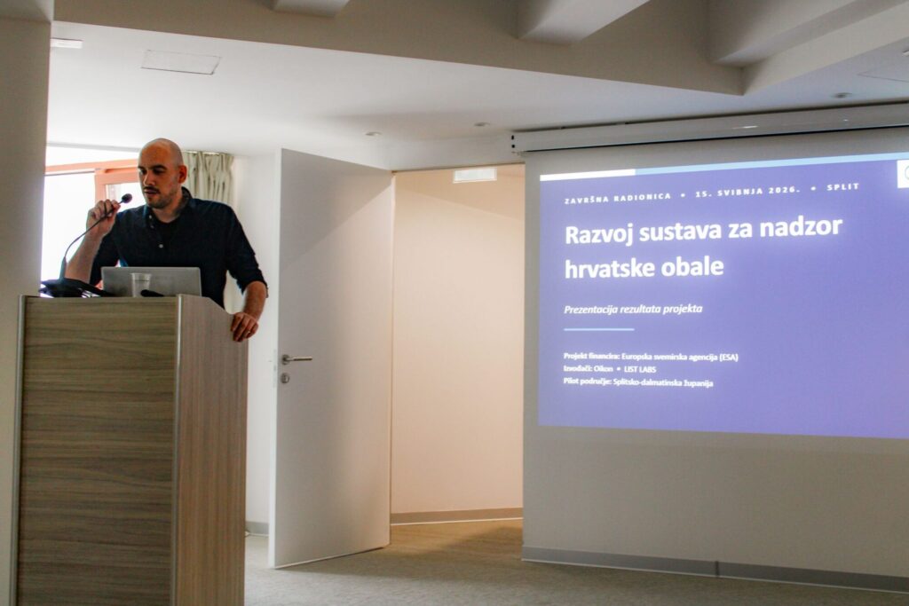
May 15, 2026 – The final workshop of the project “Coastal Area Monitoring System in Croatia” was held today in Split, where a functional prototype of the SeaK application, developed with the support of the European Space Agency (ESA), was presented. The project was developed by Oikon and its partner LIST LABS, with support from the Public Institution “More i krš” and Split-Dalmatia County, to create a system that uses satellite imagery to automatically detect changes along the coast, from illegal construction and land reclamation to vegetation destruction.
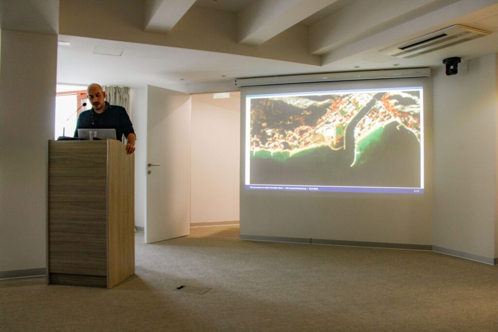
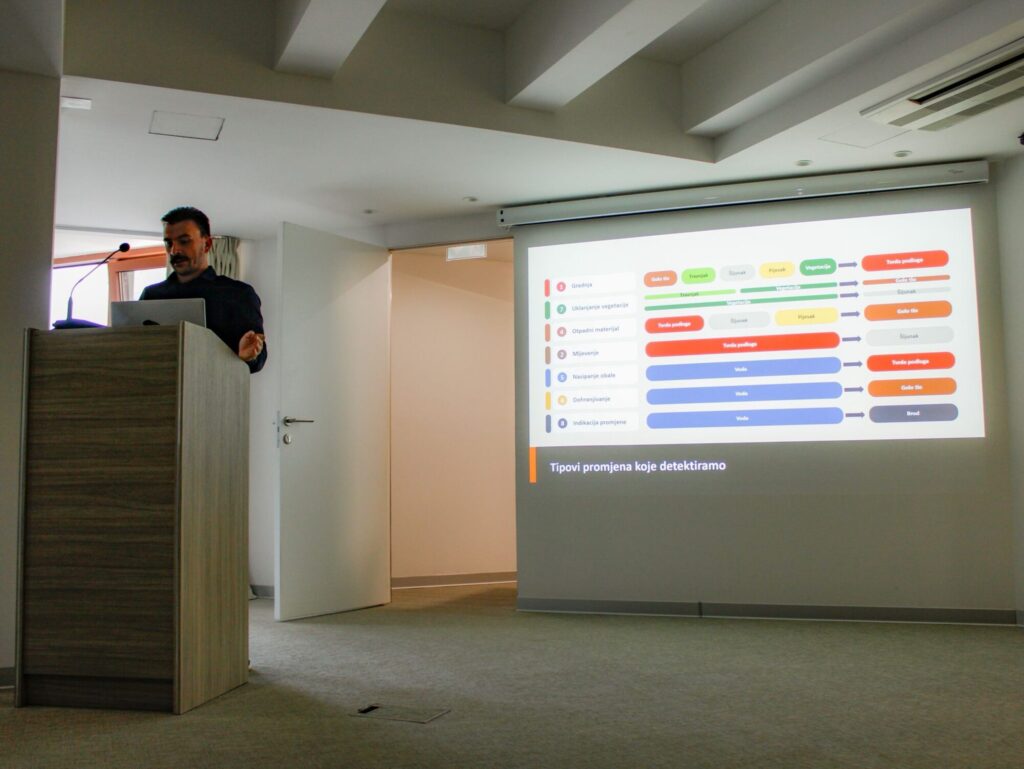
As part of the project, Oikon’s remote sensing experts developed machine learning models that process imagery from the European Sentinel-2 satellites and high-resolution commercial PlanetScope satellites. The system automatically scans the entire Croatian coastline and identifies locations where changes have occurred within just a few minutes. At the identified locations, coastal landscapes are classified into thematic categories, after which post-processing algorithms identify changes caused by human activity, such as vegetation removal, coastal construction, land reclamation, or illegal waste disposal.
Although satellite data has been publicly available for years, its use in the daily work of public institutions has so far been limited due to the need for specialised expertise in image processing and interpretation. SeaK was developed to make information obtained through satellite image analysis directly usable even for users without technical expertise. Project Manager Ivan Tekić from Oikon highlighted that the automatic change detection model integrated into the web application requires minimal human involvement. The long-term goal of the project is to apply the system along the entire Croatian coastline, while it is currently limited to the area of Split-Dalmatia County.
Technology is not an end in itself. The greatest value of solutions like this lies in their ability to help public authorities, inspection services, protected area managers, and everyone involved in coastal management monitor and preserve areas that are under increasing pressure more effectively.