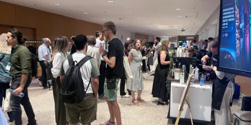
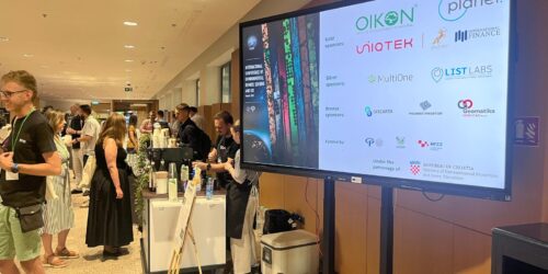
July 6, 2026 – Oikon took part in the International Conference on Environmental Remote Sensing and GIS – ICERS 2026, held from July 1–3 in Zagreb. The conference brought together researchers, practitioners, and institutions from around the world to explore the latest advancements in remote sensing and GIS, with this year’s edition placing special emphasis on geospatial solutions for climate change, sustainable development, and resource management.
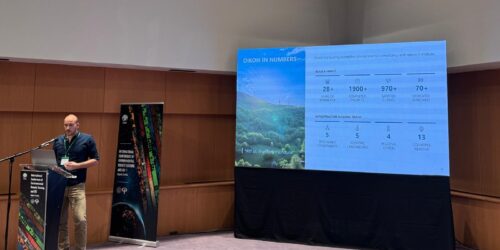
As a gold sponsor, Oikon reaffirmed its commitment to advancing the use of Earth observation and geospatial technologies in environmental research and applied ecology. Dr. Ivan Tekić represented Oikon at the conference, presenting the company’s ongoing work and expertise in remote sensing and Earth observation (EO) to the international community.
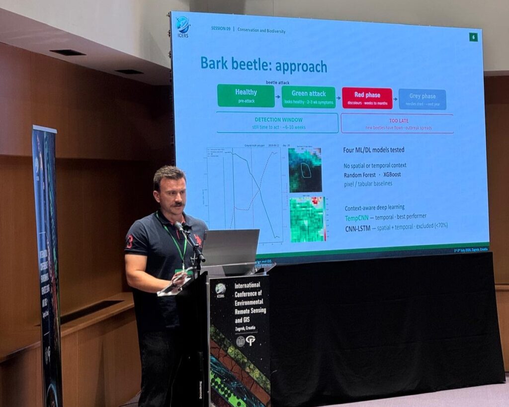
Forest pest detection with Sentinel-2 and machine learning
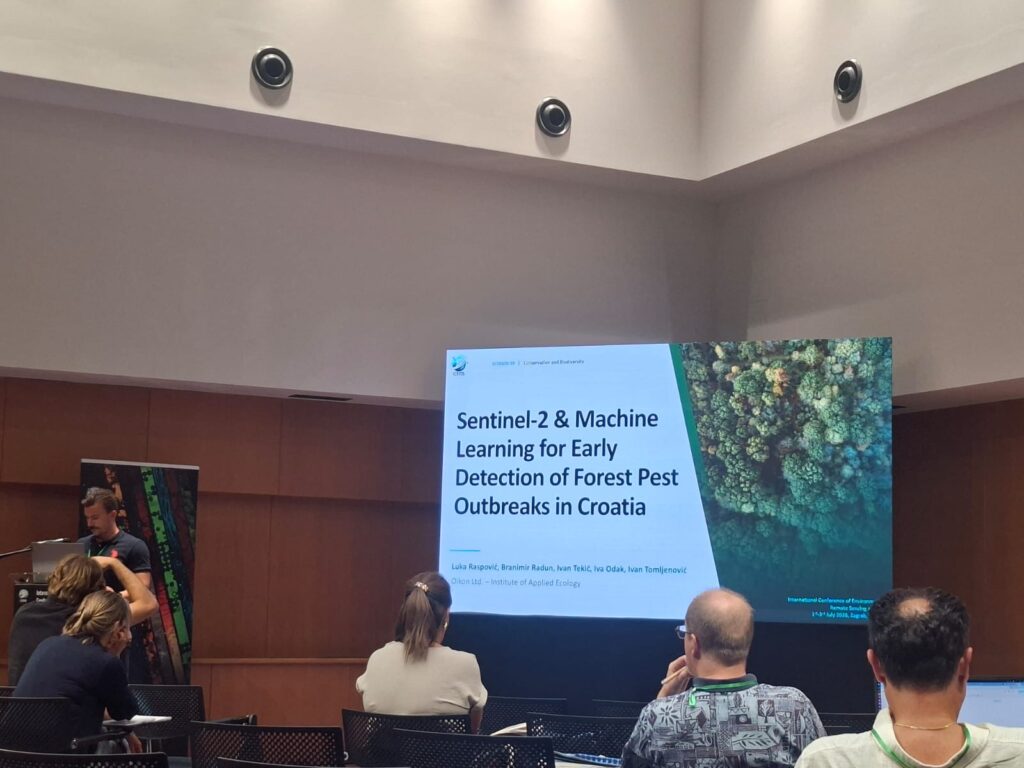
Luka Raspović delivered a talk titled “Sentinel-2 and Machine Learning Approaches for Early Detection of Forest Pest Outbreaks in Croatia,” presenting a project developed by the Oikon team. The work demonstrates how satellite imagery combined with machine learning can support early identification of forest pest outbreaks, offering forest managers a valuable tool for timely intervention and improved forest health monitoring.
Monitoring oak forest water dynamics and grassland succession
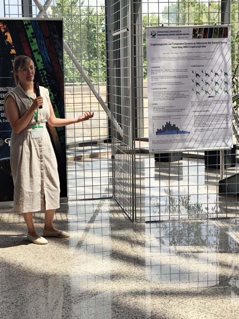
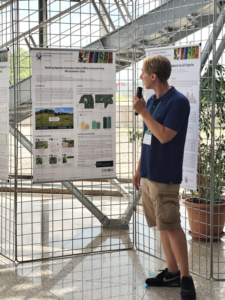
Oikon was also present through two poster contributions, developed by the Oikon team in cooperation with experts from the Karlovac University of Applied Sciences and the Faculty of Agronomy, University of Zagreb. Dr. Nela Jantol presented “Evapotranspiration and Transpiration Dynamics on Pedunculate Oak Stands in Spačva Forest Using MODIS Evapotranspiration,” looking at water-use patterns in the pedunculate oak stands of Spačva Forest, while Tonko Megyery presented “Integrating Field Ecology and Sentinel-2-Compatible Remote Sensing for Monitoring Vegetation Succession in Natura 2000 Dry Grasslands,” on combining field ecology data with satellite imagery to track vegetation change in protected dry grasslands.
We thank the Faculty of Geodesy at the University of Zagreb for hosting the conference, and to everyone who stopped by to talk about the projects.