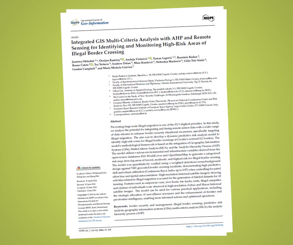
July 8, 2026 – A new scientific paper, “Integrated GIS Multi-Criteria Analysis with AHP and Remote Sensing for Identifying and Monitoring High-Risk Areas of Illegal Border Crossing,” has been published in the ISPRS International Journal of Geo-Information (IJGI), the result of a collaboration between the Ruđer Bošković Institute (IRB), Oikon – Institute of Applied Ecology, the Croatian Ministry of the Interior (MoI) – Border Police Directorate, the Faculty of Agrobiotechnical Sciences Osijek, the Scotland-based Centre for the Study of New Security Challenges, and the European Space Agency (ESA).
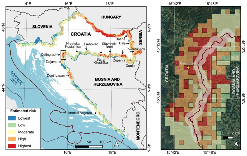
The paper presents a model for predicting the risk of illegal crossings of the European Union’s external border along the Croatian section of the Western Balkan migratory route. The model combines Geographic Information Systems (GIS) with multi-criteria analysis and the Analytic Hierarchy Process (AHP), drawing on publicly available environmental and infrastructure data such as terrain, land cover, and proximity to roads and settlements. The result is a map that ranks areas along the border by level of risk, from lowest to highest. Such a tool can help border police allocate surveillance and resources more effectively.
Our contribution at Oikon, led by colleagues Branimir Radun, Bruno Ćaleta, and Tea Teskera, involved testing and validating the model. We assessed how reliably its risk map identifies areas where illegal border crossings actually occur. In addition, we worked on how future versions of the model could better integrate Earth observation, from free imagery refreshed every few days to detailed high-resolution imagery suitable for training artificial intelligence algorithms.
The paper builds on a successfully completed European Space Agency (ESA) project led by IRB, with Oikon and RACVIAC as subcontractors. We thank all our partners for the collaboration and look forward to further developing this tool to strengthen EU border security.
The full paper is available at: https://www.mdpi.com/2220-9964/15/7/304