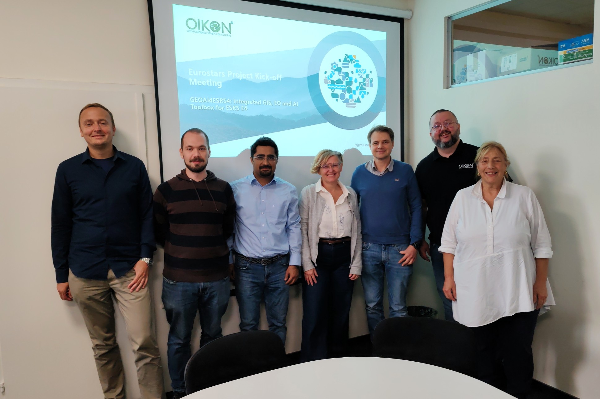
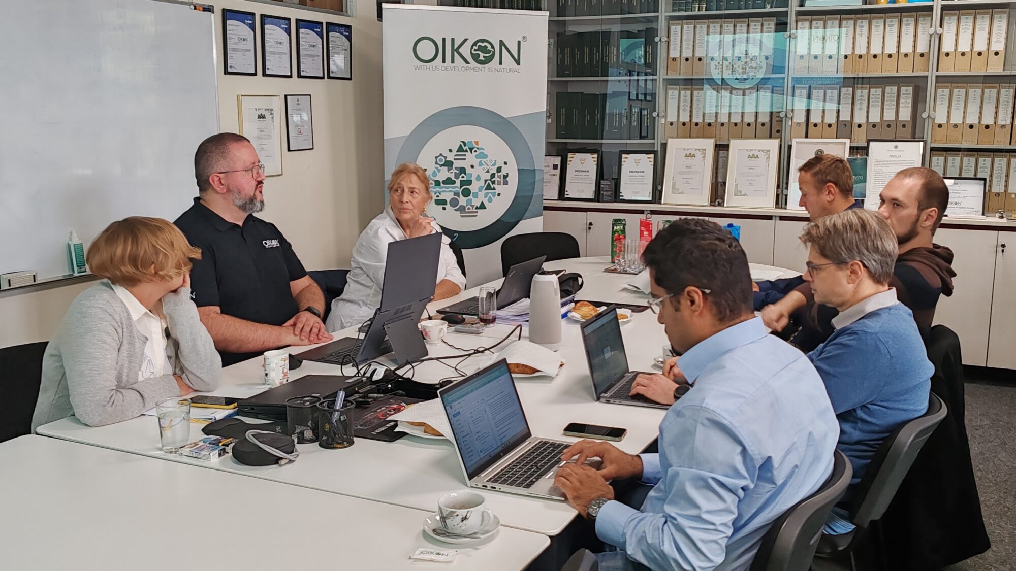
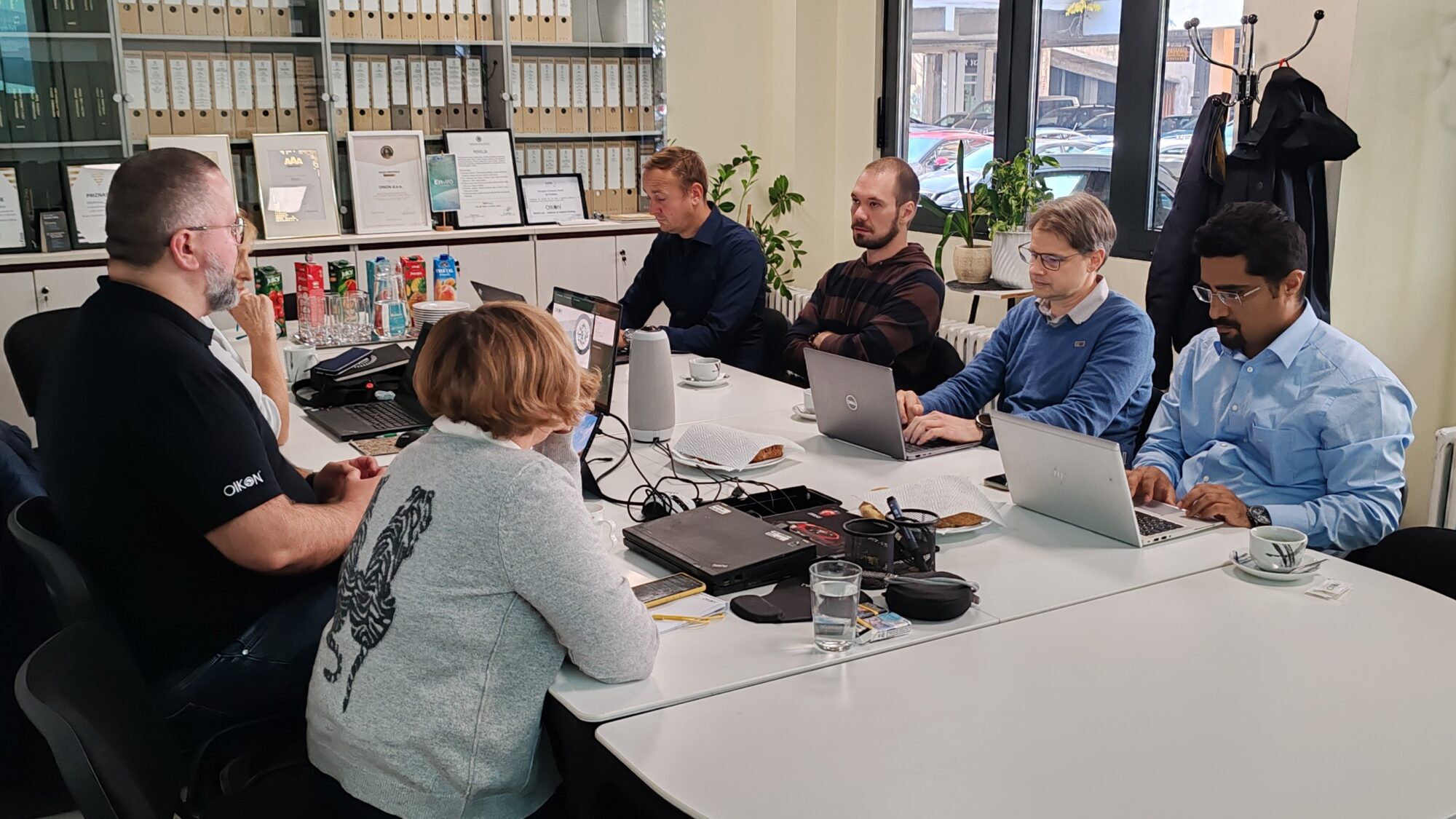
October 17, 2025 – A two-day kick-off meeting for the project “Integrated Geospatial Information System (GIS), Earth Observation (EO) and Artificial Intelligence (AI) toolbox for European Sustainability Reporting Standards on Biodiversity and Ecosystem (ESRS E4)” (acronym GEOAI4ESRSE4) was held at the premises of Oikon – Institute of Applied Ecology.
Representatives of Oikon, ESG Chain, Spatial Services, and the University of Salzburg (PLUS) aligned project objectives, confirmed the consortium agreement, and defined governance frameworks and workflows, officially marking the start of the project implementation. The project aims to develop an integrated set of tools combining GIS, satellite Earth observations, and artificial intelligence to enable companies to report accurately on biodiversity and ecosystems in line with the ESRS E4 standard.
The GEOAI4ESRSE4 consortium is led by Oikon and includes partners Paris Lodron University Salzburg – PLUS, Spatial Services GmbH, and ESG Solutions & Consulting GmbH. The applicability of the developed solution will be tested through pilot implementations across several different sectors. The project started on 1 October 2025 and will run for 18 months.

This project has received funding from the Eurostars-3 Joint Programme and is co-funded by the European Union through the Horizon Europe Programme, HAMAG-BICRO, and the Swiss-Croatian Cooperation Programme. The content of this publication is the sole responsibility of Oikon.