Project name: Processing and geometric correction of satellite imagery for the Rääkkylä and Kotka areas in Finland
Client: European Space Imaging GmbH
Period: 07/2025 – 10/2025
Location: Finland
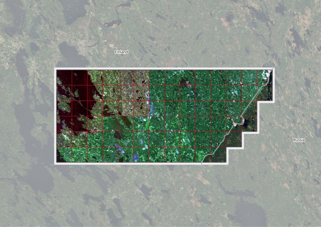
This project encompasses the delivery of high-resolution satellite orthoimages covering up to 9 designated production areas across 2.600 km2 of Finland. The orthoimages are intended to provide baseline mapping data in regions where GNSS-based positioning and conventional aerial imaging are not feasible due to environmental interference.
Oikon has performed the following activities:
- Procured and delivered high-resolution satellite orthoimages across up to 9 designated production areas in Finland, targeting regions where GNSS positioning and conventional aerial imaging are environmentally constrained
- Processed multispectral raw imagery with a minimum of 4 bands (Red, Green, Blue, Near-Infrared), ≥11 bits per band, including full radiometric correction
- Performed geo-referencing and orthorectification using the Finnish national digital elevation model (2 m resolution) and 10–15 ground control points per production area
- Achieved coordinate accuracy with RMSE ≤ 1 m and maintained a uniform ground sampling distance (GSD) of minimum 0.5 m across all spectral bands
- Applied panchromatic sharpening using co-sensor RGB and NIR bands to enhance spatial detail in Kotka region
- Delivered seamlessly mosaicked orthoimages as 6×6 km grid tiles in uncompressed GeoTIFF format: 4 channels, 16 bits per band, EPSG:3067 spatial reference, with accompanying .tfw world files.
Implementation of this Project contributes to the following Sustainable Development Goals: