


Project name: Mapping of the Ailanthus tree within the Biokovo Nature Park
Client: Biokovo Nature Park
Period: 03/2025 – 11/2025
Location: Biokovo, Croatia
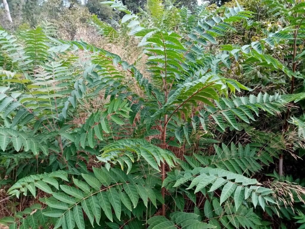
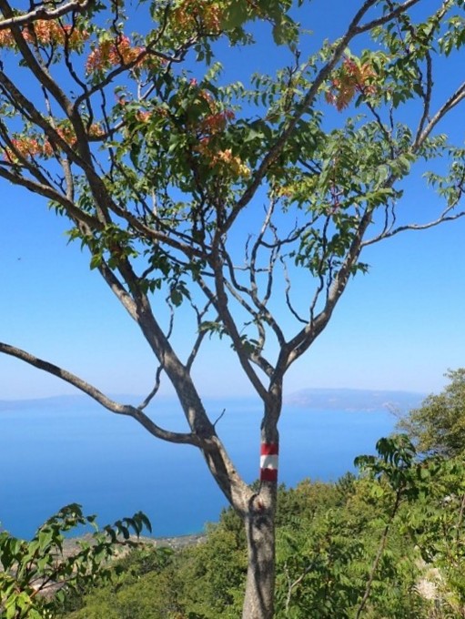
Project activities included the preparation of existing data on the distribution of the Ailanthus tree (Ailanthus altissima) in the Biokovo Nature Park area, the creation of a map of burned areas using satellite images, and the conduct of field research along roads, at the main entrance to the park in the burned area, near Kotišina, Bast and Brela.
For the ailanthus tree, the coordinates of the plot centroid, the habitat where they were observed, the dispersion on the plot, the average stand height, the average diameter, the number of individuals, threats and conservation problems, spread routes and vectors were recorded on each plot. Drone photography was also carried out on some plots in order to compare the spread of the species in the future. The data analysis included processing field-collected data in a GIS environment and assessing the risk of species spread.
The final report contained fieldwork statistics, research results, analysis of existing and new findings and their selective cartographic display, as well as a proposal for measures to suppress the spread of the species and a plan for monitoring population numbers and the effectiveness of the implementation of measures. The report was accompanied by spatial data with the locations of findings, suitable for use in the QGIS/ArcGIS program.
Implementation of this Project contributes to the following Sustainable Development Goals:
